
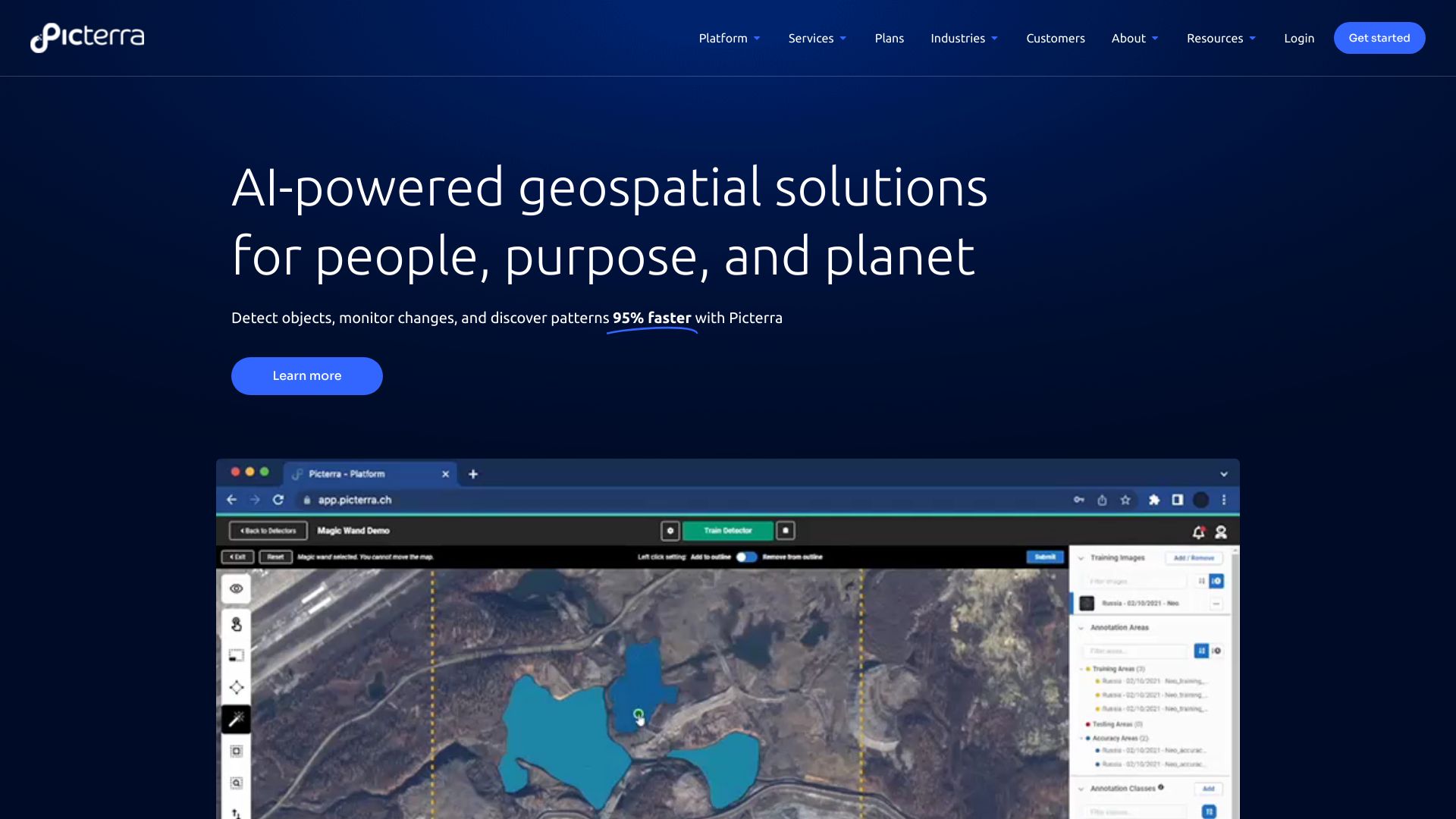
What is Picterra?
Picterra is a cutting-edge platform for geospatial imagery analysis professionals. It empowers users to train and deploy machine learning models for analyzing satellite and aerial imagery, providing valuable insights for urban planning, environmental monitoring, and resource management.
How to use Picterra?
Upload your geospatial imagery data, select an appropriate machine learning model based on your analysis goals, customize parameters through the intuitive interface, deploy the model to analyze new data, and export results for further analysis.
Core features of Picterra?
- Customizable machine learning models tailored to specific analysis needs.
- Intuitive user interface making complex analysis accessible.
- Seamless integration with existing GIS tools and workflows.
- High-performance analytics for processing large datasets efficiently.
- Robust data security measures ensuring compliance with protection regulations.